RoboGEO 6.3.2 Download Spiegel
Setup-Datei rgeo.msi - 13.36 MB - Win2000,Win7 x32,Win7 x64,WinOther,WinServer,WinVista,WinVista x64,WinXP,Other -
Support
Die Dateien sind die Originaldateien. Download3K ändert die Integrität von Dateien in keiner Weise. Überprüfen Sie SHA1 und MD5 zur Bestätigung.
Kaufen oder wählen Sie Spiegel:
- Kaufen $79.95
- Download-Link 1 (non https rgeo.msi)
- Download-Link 2 (non https rgeo.zip)
- Download3k US (rgeo.msi)
- Download3k EU (rgeo.msi)
Updates und Berichte:
Support ist auf dem Herausgebersseite verfügbar.
Dateiinformationen
- Dateiname: rgeo.msi
- Dateigröße: 13.36 MB
- Lizenz: Demo
- Aktualisiert am: 6/12/2021
- Downloads: 1337
- Letzte Woche: 1
-
Kurze Dateiinformationen:
Composite Document File V2 Document, Little Endian, Os: Windows, Version 6.1, MSI Installer, Create Time/Date: Sat Feb 25 06:56:08 2012, Code page: 0, Title: RoboGEO v6.3.2, Subject: Geocode Photos, Author: Tim Helton, Keywords: GPS Garmin EXIF Georeference Photos Images Latitude Longitude Altitude Google Earth Google Maps Flickr MapPoint, Comments: Geocode Photos, Revision Number: {7AB9EA7D-78FF-4D2B-9E73-3D19FC25F6E4}, Number of Pages: 110, Name of Creating Application: Microsoft Installer, Security: 0, Template: Intel;0, Number of Words: 2, Last Saved Time/Date: Sat Feb 25 06:56:22 2012
-
MD5 checksum:
45cc99ca402df616d163392a81984ced
-
SHA1 checksum:
2a75b07be206bcbc188fe8f7e59baa9815bd2373
Downloadzeit- Dialup 33 m (56k)
- ISDN 14 m (128k)
- DSL 4 m (512k)
- Cable 2 m (1024k)
- T1 1 m (1484k)
-
File section
File Type: FPX
File Type Extension: fpx
MIME Type: image/vnd.fpx
FlashPix section
Create Date: 2012:02:25 06:56:08
Code Page: Unknown (0)
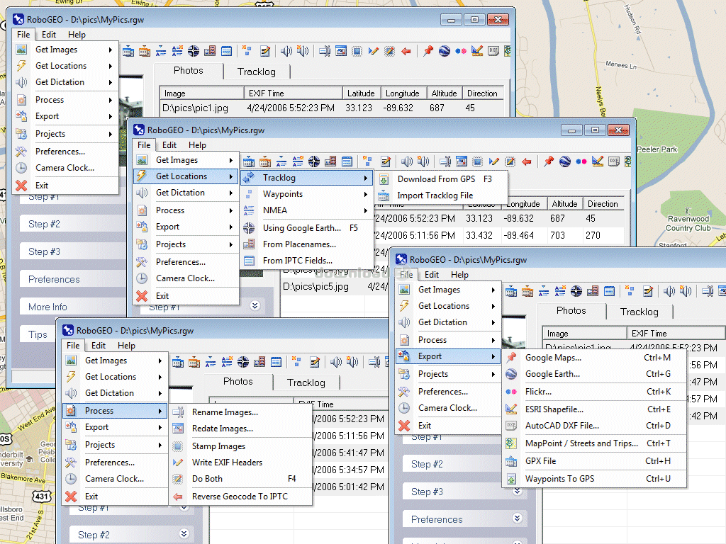
Title: RoboGEO v6.3.2
Subject: Geocode Photos
Author: Tim Helton
Keywords: GPS Garmin EXIF Georeference Photos Images Latitude Longitude Altitude Google Earth Google Maps Flickr MapPoint
Comments: Geocode Photos
Revision Number: {7AB9EA7D-78FF-4D2B-9E73-3D19FC25F6E4}
Pages: 110
Software: Microsoft Installer
Security: None
Template: Intel;0
Words: 2
Modify Date: 2012:02:25 06:56:22
Kurze Beschreibung
Beliebte Programme in Foto und Grafik
-
 Bandicam Screen Recorder 8.2.2.2531
Aufnahmeprogramm für Spiele/Videos/Bildschirm -
 PhotoScape 3.7
Eine unterhaltsame und einfache Foto-Bearbeitungs-Software. -
 Magic Photo Editor 7.5
Easilly mischen Foto auf ein anderes Bild. -
 SketchUp Make 16.1.1450 32-bit / 17.2.2555 64-bit
Ein einfach zu erlernendes 3D-Modelling-Programm. -
 jAlbum 38
Hochpassbare Webgalerien für jede Website. -
 Shipping Container House Plans 1.1
Shipping Container Haus-Pläne Software -
 VEGAS Pro 22.0.0 Build 248
Bieten die ultimative all-in-One-Umgebung -
 Corel PaintShop Pro 2023 25.2.0.58 Update 2
Alles was Sie brauchen, um tolle Fotos zu erstellen! -
") Just Color Picker 6.1
Just Color Picker 6.1
Farb-Picker (RGB, HEX, HSB/HSV, HSL und CMYK) -
JR Split File 1.2
Teilen Sie eine große Datei in kleinere Dateien
Bewertung
4.5/5 (3 Stimmen)
Excellent
Ihre Stimme